
Royal United Service Institute map collection
Various
- Art Funded
- 1968
- Vendor
- Royal United Service Institution
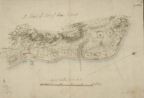
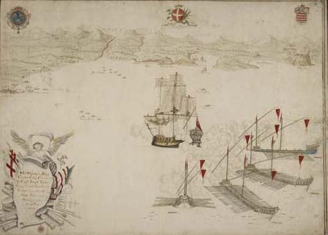
Collection of over 2,000 maps, particularly military maps and plans, both manuscript and printed.
Includes many 18th century American and Canadian maps and European maps from the 18th and 19th centuries.
Provenance
Royal United Service Institution collection formed by the deposit of maps by serving officers and Government departments and by donations of single items and collections from the foundation of the Institution in 1831.